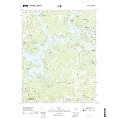
2019 Map of Nolin Lake
USGS Topo · Published 2019About this map
Nolin Lake dominates this 2019 survey, its winding branches reaching into the deep hollows where the borders of Grayson, Hart, and Edmonson counties converge. The terrain is marked by distinctive geological formations such as Dismal Rock, Chimney Stack, and Whistle Mtn, illustrating the complex karst topography of the region. To the south, the northern edge of Mammoth Cave National Park appears along the Nolin River, emphasizing the transition from recreation-focused lakefront to protected wilderness.
Find a feature on this map
159 named features on this map. Tap any name to fly to it.
Don’t see what you’re looking for? This feature index may not catch every label — zoom into the map to look around manually.
Map Details
Editions of this 2019 Nolin Lake Map
This is the sole edition of this map. No revisions or reprints were ever made.
Other maps of this area

1922 · Leitchfield
USGS Topo · 1:48,000

1922 · Brownsville
USGS Topo · 1:62,500

1922 · Mammoth Cave
USGS Topo · 1:62,500

1923 · Mammoth Cave
USGS Topo · 1:62,500

1923 · Brownsville
USGS Topo · 1:62,500

1925 · Cub Run
USGS Topo · 1:62,500

1925 · Leitchfield
USGS Topo · 1:62,500

1953 · Bee Spring
USGS Topo · 1:24,000

1954 · Evansville
USGS Topo · 1:250,000
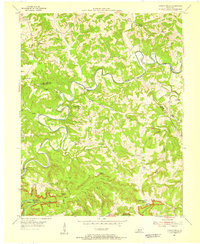
1954 · Dickeys Mills
USGS Topo · 1:24,000