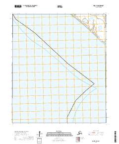
2017 Map of Nome C-3 SW
USGS Topo · Published 2017About this map
Norton Sound defines the northeastern reaches of this coastal Alaskan landscape, where the waters of the Bering Sea meet the rugged shoreline. This 2017 survey delineates the jurisdictional boundary of the Alaska - Nome Census Area, following a diagonal path through several townships including t10s r39w, t10s r38w, and t11s r38w. The map illustrates a largely natural terrain dominated by intricate wetlands and tidal patterns along the coastline, reflecting the specialized environment of the Seward Peninsula. By focusing on the intersection of maritime features and administrative lines, the document provides a clear record of the region's geography before significant contemporary changes, serving as a baseline for tracing environmental shifts or land-use boundaries in this remote coastal district.
Find a feature on this map
5 named features on this map. Tap any name to fly to it.
Don’t see what you’re looking for? This feature index may not catch every label — zoom into the map to look around manually.
Map Details
Editions of this 2017 Nome C-3 SW Map
This is the sole edition of this map. No revisions or reprints were ever made.
Other maps of this area

1950 · Nome
USGS Topo · 1:250,000
1950 · Nome C-3
USGS Topo · 1:63,360

1951 · Nome
USGS Topo · 1:250,000

1957 · Nome
USGS Topo · 1:250,000
1975 · Nome C-3
USGS Topo · 1:63,360
2017 · Nome C-3 NW
USGS Topo · 1:25,000
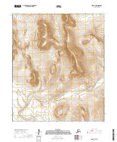
2017 · Nome C-3 NE
USGS Topo · 1:25,000
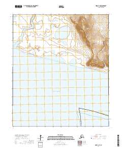
2017 · Nome C-3 SE
USGS Topo · 1:25,000
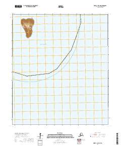
2017 · Nome C-3 OE S NE
USGS Topo · 1:25,000