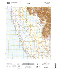
2017 Map of Nome C-3 NW
USGS Topo · Published 2017About this map
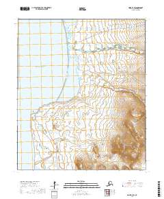
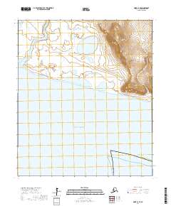
Cape Rodney anchors this coastal survey along the edge of the Seward Peninsula, where the land meets the open waters of Norton Sound. The landscape is dominated by a complex network of coastal wetlands and low-lying drainages, characteristic of this subarctic environment. Topographic relief is concentrated in the northeastern quadrant, where the terrain rises from the tidal flats into higher ground, as delineated by the Public Land Survey System boundaries of t8s r38w and t8s r37w. The absence of developed roads or settlements highlights the wilderness character of this area west of Nome, where the shifting interface of water and tundra remains the primary geographic feature.
Find a feature on this map
9 named features on this map. Tap any name to fly to it.
Don’t see what you’re looking for? This feature index may not catch every label — zoom into the map to look around manually.
Map Details
Editions of this 2017 Nome C-3 NW Map
This is the sole edition of this map. No revisions or reprints were ever made.
Other maps of this area

1950 · Nome D-4
USGS Topo · 1:63,360

1950 · Nome
USGS Topo · 1:250,000
1950 · Nome C-3
USGS Topo · 1:63,360

1950 · Nome D-3
USGS Topo · 1:63,360

1951 · Nome
USGS Topo · 1:250,000

1957 · Nome
USGS Topo · 1:250,000
1975 · Nome C-3
USGS Topo · 1:63,360
2017 · Nome C-3 NE
USGS Topo · 1:25,000
2017 · Nome D-3 SW
USGS Topo · 1:25,000
2017 · Nome C-3 SE
USGS Topo · 1:25,000