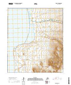
2017 Map of Nome D-3 SW
USGS Topo · Published 2017About this map
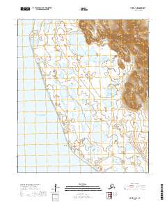
Norton Sound defines the western coastline of this remote Seward Peninsula landscape, where the waters of the Bering Sea meet the rugged Alaskan shore. The terrain is characterized by a low-lying coastal plain that gradually rises into upland ridges in the southeast, a transition marked by the prominent landmark of Cape Woolley. This coastal area is intersected by a network of tundra waterways, including the Feather River and Fairview Cr, which meander toward the sea. The mapping reveals a land largely defined by its natural drainage patterns and the lone transit artery of Wooley Lagoon Road, reflecting the sparse human footprint in this subarctic environment. For those studying the geography of the Nome region, the map provides precise locations for small drainage systems like Crete Cr and Igloo Cr as they appeared in the early 21st century.
Find a feature on this map
13 named features on this map. Tap any name to fly to it.
Don’t see what you’re looking for? This feature index may not catch every label — zoom into the map to look around manually.
Map Details
Editions of this 2017 Nome D-3 SW Map
This is the sole edition of this map. No revisions or reprints were ever made.
Other maps of this area

1950 · Nome D-4
USGS Topo · 1:63,360

1950 · Nome
USGS Topo · 1:250,000
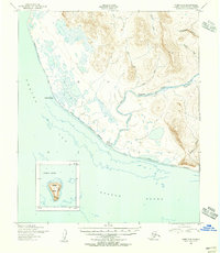
1950 · Nome C-3
USGS Topo · 1:63,360

1950 · Nome D-3
USGS Topo · 1:63,360

1951 · Nome
USGS Topo · 1:250,000

1957 · Nome
USGS Topo · 1:250,000
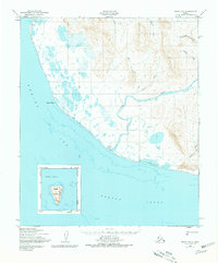
1975 · Nome C-3
USGS Topo · 1:63,360
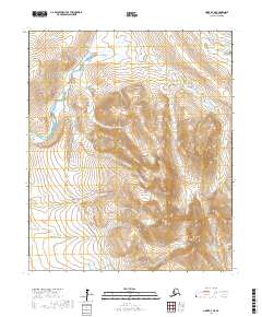
2017 · Nome D-3 NE
USGS Topo · 1:25,000
2017 · Nome C-3 NW
USGS Topo · 1:25,000
2017 · Nome C-3 NE
USGS Topo · 1:25,000