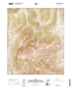
2017 Map of Solomon D-2 SW
USGS Topo · Published 2017About this map
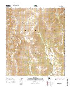
Mt Kachauik anchors the high southern terrain of this inland portion of the Seward Peninsula, where the drainage patterns of several significant watercourses begin their descent. The Kachauik River originates along the western slopes of its namesake mountain, while the Etchepuk River winds through the western half of the map, and the Rathlatulik River flows through the eastern corridor. The terrain is characterized by a dense network of tributaries, including Burnt Cr, which feeds into the larger river systems that define the region's geography. Produced by the U.S. Geological Survey using 2009 satellite imagery and contemporary elevation data, this document provides a detailed topographical record of a landscape defined by its hydrography and elevation rather than human infrastructure or settlements.
Find a feature on this map
10 named features on this map. Tap any name to fly to it.
Don’t see what you’re looking for? This feature index may not catch every label — zoom into the map to look around manually.
Map Details
Editions of this 2017 Solomon D-2 SW Map
This is the sole edition of this map. No revisions or reprints were ever made.
Other maps of this area

1950 · Solomon D-2
USGS Topo · 1:63,360

1950 · Solomon C-2
USGS Topo · 1:63,360

1950 · Solomon D-3
USGS Topo · 1:63,360

1950 · Solomon
USGS Topo · 1:250,000

1950 · Solomon C-3
USGS Topo · 1:63,360

1951 · Solomon
USGS Topo · 1:250,000
2014 · Solomon C-2 NW
USGS Topo · 1:25,000
2014 · Solomon D-2 SE
USGS Topo · 1:25,000
2014 · Solomon D-2 NE
USGS Topo · 1:25,000
2014 · Solomon C-2 NE
USGS Topo · 1:25,000