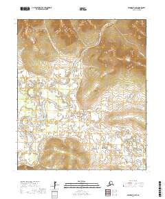
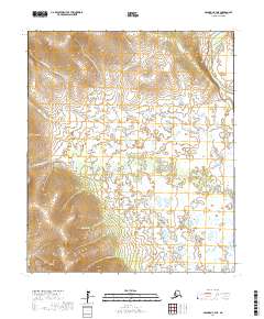
2017 Map of Solomon D-3 SW
USGS Topo · Published 2017About this map
The Niukluk River joins the larger Fish River system here on the Seward Peninsula, creating a complex network of braided channels and riparian wetlands. This landscape is defined by its water-driven geography, where the main river currents shift into the winding Steamboat Slough. Smaller tributaries such as Fox River, Portland Cr, and Baldwin Cr drain from the surrounding higher elevations into the broad, low-lying basin.
Find a feature on this map
11 named features on this map. Tap any name to fly to it.
Don’t see what you’re looking for? This feature index may not catch every label — zoom into the map to look around manually.
Map Details
Editions of this 2017 Solomon D-3 SW Map
This is the sole edition of this map. No revisions or reprints were ever made.
Other maps of this area

1950 · Solomon C-4
USGS Topo · 1:63,360

1950 · Solomon D-3
USGS Topo · 1:63,360

1950 · Solomon
USGS Topo · 1:250,000

1950 · Solomon C-3
USGS Topo · 1:63,360

1950 · Solomon D-4
USGS Topo · 1:63,360

1951 · Solomon
USGS Topo · 1:250,000
2017 · Solomon C-3 NE
USGS Topo · 1:25,000
2017 · Solomon C-3 NW
USGS Topo · 1:25,000
2017 · Solomon D-3 SE
USGS Topo · 1:25,000
2017 · Solomon C-4 NE
USGS Topo · 1:25,000