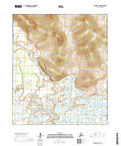
2017 Map of Solomon C-3 NW
USGS Topo · Published 2017About this map
White Mountain serves as the primary hub of activity in this subregion of the Seward Peninsula, situated at the confluence of several vital waterways. The landscape is defined by the winding course of the Fish River, which is joined by the Mudyutok River and Klokkerblok River as they thread through the low-lying wetlands. Human infrastructure is concentrated around the village and the White Mountain Airport, with local routes like White Mountain Hill Road and Scow John Road providing land access to the immediate vicinity. Further west, Colorado Cr cuts through the terrain, illustrating the dense hydrological network typical of this Alaskan environment. This modern survey reflects the essential relationship between the isolated settlement and its river-and-air transport corridors.
Find a feature on this map
17 named features on this map. Tap any name to fly to it.
Don’t see what you’re looking for? This feature index may not catch every label — zoom into the map to look around manually.
Map Details
Editions of this 2017 Solomon C-3 NW Map
This is the sole edition of this map. No revisions or reprints were ever made.
Other maps of this area

1950 · Solomon C-4
USGS Topo · 1:63,360

1950 · Solomon D-3
USGS Topo · 1:63,360

1950 · Solomon
USGS Topo · 1:250,000

1950 · Solomon C-3
USGS Topo · 1:63,360

1950 · Solomon D-4
USGS Topo · 1:63,360

1951 · Solomon
USGS Topo · 1:250,000

2014 · Solomon C-3 SE
USGS Topo · 1:25,000
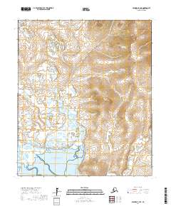
2017 · Solomon C-3 NE
USGS Topo · 1:25,000
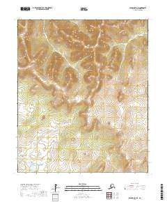
2017 · Solomon D-3 SE
USGS Topo · 1:25,000
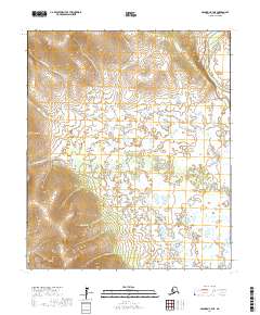
2017 · Solomon C-4 NE
USGS Topo · 1:25,000