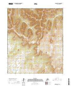
2017 Map of Solomon D-3 SE
USGS Topo · Published 2017About this map
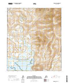
The Seward Peninsula interior is defined by its complex drainage systems and rising elevations in this 2017 topographic study. The landscape is dominated by the meandering course of the Etchepuk River and the Steamboat Slough, which weave through the terrain, illustrating the hydrological patterns characteristic of this part of Alaska. Further south, the Kachauik River and the Yuonglik River establish the primary watersheds for the area. This map reveals a wilderness devoid of modern road infrastructure or permanent settlements, where the terrain is marked primarily by these water bodies and the subtle relief of the land. It offers a precise record of the natural geography and water flow patterns before any significant human development altered the local environment.
Find a feature on this map
11 named features on this map. Tap any name to fly to it.
Don’t see what you’re looking for? This feature index may not catch every label — zoom into the map to look around manually.
Map Details
Editions of this 2017 Solomon D-3 SE Map
This is the sole edition of this map. No revisions or reprints were ever made.
Other maps of this area

1950 · Solomon D-2
USGS Topo · 1:63,360

1950 · Solomon C-2
USGS Topo · 1:63,360

1950 · Solomon D-3
USGS Topo · 1:63,360

1950 · Solomon
USGS Topo · 1:250,000

1950 · Solomon C-3
USGS Topo · 1:63,360

1951 · Solomon
USGS Topo · 1:250,000
2014 · Solomon C-2 NW
USGS Topo · 1:25,000
2017 · Solomon D-2 NW
USGS Topo · 1:25,000
2017 · Solomon D-2 SW
USGS Topo · 1:25,000
2017 · Solomon C-3 NE
USGS Topo · 1:25,000