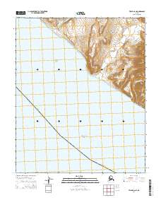
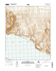
2014 Map of Teller B-6 NE
USGS Topo · Published 2014About this map
The coastal settlement of York sits at the northern edge of this Seward Peninsula landscape, positioned where the Anikovik River meets the coastline. This 2014 survey documents a critical geographic transition point where the Chukchi Sea meets the Bering Sea, divided by the prominent heights of Big Potato Mountain and Little Potato Mountain. The terrain is defined by drainage systems such as Kanauguk River and Tin Gulch, which carve through the high ground east of the coast.
Find a feature on this map
14 named features on this map. Tap any name to fly to it.
Don’t see what you’re looking for? This feature index may not catch every label — zoom into the map to look around manually.
Map Details
Editions of this 2014 Teller B-6 NE Map
This is the sole edition of this map. No revisions or reprints were ever made.
Other maps of this area

1950 · Teller
USGS Topo · 1:250,000

1950 · Teller C-6
USGS Topo · 1:63,360
1950 · Teller B-5
USGS Topo · 1:63,360

1950 · Teller C-5
USGS Topo · 1:63,360
1950 · Teller B-6
USGS Topo · 1:63,360

1951 · Teller
USGS Topo · 1:250,000

1957 · Teller
USGS Topo · 1:250,000

1958 · Teller
USGS Topo · 1:250,000
2014 · Teller C-5 SW
USGS Topo · 1:25,000
2014 · Teller C-6 SW
USGS Topo · 1:25,000