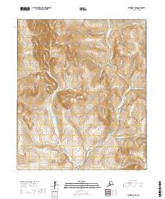
2017 Map of Solomon C-5 NW
USGS Topo · Published 2017About this map
Seward Peninsula drainage patterns are meticulously documented in this northern landscape, where the Solomon River and its numerous tributaries carve through the terrain. The area is defined by its watercourses, from the E Fork Solomon River at East Fork to the curiously named Mystery Cr and Problem Cr. This region of Alaska, documented in the early 21st century, shows the persistent infrastructure of the Council Road and Big Hurrah Road, which facilitate movement through the river valleys.
Find a feature on this map
48 named features on this map. Tap any name to fly to it.
Don’t see what you’re looking for? This feature index may not catch every label — zoom into the map to look around manually.
Map Details
Editions of this 2017 Solomon C-5 NW Map
This is the sole edition of this map. No revisions or reprints were ever made.
Other maps of this area

1907 · Casadepaga
USGS Topo · 1:62,500

1907 · Solomon
USGS Topo · 1:62,500

1950 · Solomon C-5
USGS Topo · 1:63,360

1950 · Solomon C-6
USGS Topo · 1:63,360

1950 · Solomon
USGS Topo · 1:250,000

1950 · Solomon D-6
USGS Topo · 1:63,360

1950 · Solomon D-5
USGS Topo · 1:63,360

1951 · Solomon
USGS Topo · 1:250,000
2017 · Solomon D-5 SW
USGS Topo · 1:25,000
2017 · Solomon D-5 SE
USGS Topo · 1:25,000