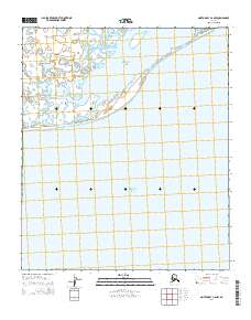
2014 Map of Norton Bay C-6 NW
USGS Topo · Published 2014About this map
The Seward Peninsula coastline meets the cold waters of the Bering Sea in this topographical study of the Norton Bay region. This coastal landscape is defined by the complex interaction of the Tubutulik River and the sheltered Kwiniuk Inlet, where the freshwater drainage meets the saltwater bay. The presence of Moses Point in the northeast corner serves as a significant landmark for the area, positioned near the mouth of the tidal flats. Much of the sheet is dominated by the open waters of Norton Bay, illustrating the importance of maritime geography to this part of Alaska. This 2014 survey documents the hydrographic patterns and remote shoreline before further environmental shifts, providing a clear record of the peninsula's southern edge.
Find a feature on this map
10 named features on this map. Tap any name to fly to it.
Don’t see what you’re looking for? This feature index may not catch every label — zoom into the map to look around manually.
Map Details
Editions of this 2014 Norton Bay C-6 NW Map
This is the sole edition of this map. No revisions or reprints were ever made.
Other maps of this area

1948 · Norton Bay
USGS Topo · 1:250,000

1950 · Norton Bay D-6
USGS Topo · 1:63,360

1950 · Solomon C-1
USGS Topo · 1:63,360

1950 · Norton Bay C-6
USGS Topo · 1:63,360

1950 · Solomon D-1
USGS Topo · 1:63,360

1950 · Solomon
USGS Topo · 1:250,000

1951 · Solomon
USGS Topo · 1:250,000

1951 · Norton Bay
USGS Topo · 1:250,000

1955 · Norton Bay
USGS Topo · 1:250,000
2014 · Solomon C-1 SE
USGS Topo · 1:25,000