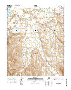
2014 Map of Teller C-5 NW
USGS Topo · Published 2014About this map
The Bering Land Bridge National Preserve occupies the northeastern corner of this coastal landscape, protecting a vast stretch of tundra where the Mint River and Yankee River flow toward the Chukchi Sea. This region is characterized by an intricate network of waterways, including Lopp Lagoon and numerous family-named or prospector-named drainages such as Whitehorse Cr, Ophir Cr, and Tapioca Cr. The terrain is marked by a series of creek-cut valleys that converge as they approach the shoreline, illustrating the hydrological patterns of the Seward Peninsula.
Find a feature on this map
16 named features on this map. Tap any name to fly to it.
Don’t see what you’re looking for? This feature index may not catch every label — zoom into the map to look around manually.
Map Details
Editions of this 2014 Teller C-5 NW Map
This is the sole edition of this map. No revisions or reprints were ever made.
Other maps of this area

1950 · Teller
USGS Topo · 1:250,000

1950 · Teller C-6
USGS Topo · 1:63,360

1950 · Teller D-5
USGS Topo · 1:63,360
1950 · Teller D-6
USGS Topo · 1:63,360

1950 · Teller C-5
USGS Topo · 1:63,360

1951 · Teller
USGS Topo · 1:250,000

1957 · Teller
USGS Topo · 1:250,000

1958 · Teller
USGS Topo · 1:250,000
2014 · Teller C-5 SW
USGS Topo · 1:25,000
2014 · Teller D-5 SW
USGS Topo · 1:25,000