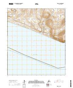
2017 Map of Nome B-1 NE
USGS Topo · Published 2017About this map
Cape Nome anchors the southeastern edge of this coastal survey, where the rugged southern shoreline of the Seward Peninsula meets the waters of Norton Sound. The landscape is defined by a dense network of drainages flowing from higher elevations toward the sea, including the Nome River, Hastings Cr, and Goldengate Cr. These watercourses carve through terrain marked by numerous named ravines such as Snow Gulch, Lee Gulch, and Alma Gulch, reflecting the region's topographical complexity.
Find a feature on this map
24 named features on this map. Tap any name to fly to it.
Don’t see what you’re looking for? This feature index may not catch every label — zoom into the map to look around manually.
Map Details
Editions of this 2017 Nome B-1 NE Map
This is the sole edition of this map. No revisions or reprints were ever made.
Other maps of this area

1950 · Nome
USGS Topo · 1:250,000

1950 · Solomon C-6
USGS Topo · 1:63,360

1950 · Nome B-1
USGS Topo · 1:63,360

1950 · Solomon B-6
USGS Topo · 1:63,360

1950 · Solomon
USGS Topo · 1:250,000

1950 · Nome C-1
USGS Topo · 1:63,360

1951 · Nome
USGS Topo · 1:250,000

1951 · Solomon
USGS Topo · 1:250,000

1957 · Nome
USGS Topo · 1:250,000
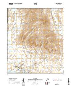
2017 · Nome C-1 SW
USGS Topo · 1:25,000