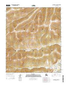
2014 Map of Norton Bay D-5 NW
USGS Topo · Published 2014About this map
Seward Peninsula terrain dominates this 2014 survey, offering a clear view of the water drainage patterns along the eastern reaches of the landmass. The landscape is defined by the winding paths of the Mukluktulik River and the Miniatulik River, which flow across the southern half of the quadrangle. In the northern section, Kenwood Cr cuts through the high ground, while the only man-made transit route shown is the remote Six Mile Road in the southeast corner. The map provides a precise look at the township and range divisions, including t6s r14w and t7s r13w, showing how the public land survey system organizes this unpopulated stretch of Alaskan wilderness near the Norton Bay coast.
Find a feature on this map
9 named features on this map. Tap any name to fly to it.
Don’t see what you’re looking for? This feature index may not catch every label — zoom into the map to look around manually.
Map Details
Editions of this 2014 Norton Bay D-5 NW Map
This is the sole edition of this map. No revisions or reprints were ever made.
Other maps of this area

1948 · Norton Bay
USGS Topo · 1:250,000

1950 · Norton Bay D-6
USGS Topo · 1:63,360

1950 · Norton Bay D-5
USGS Topo · 1:63,360

1950 · Candle A-6
USGS Topo · 1:63,360

1950 · Candle A-5
USGS Topo · 1:63,360

1951 · Candle
USGS Topo · 1:250,000

1951 · Norton Bay
USGS Topo · 1:250,000

1955 · Candle
USGS Topo · 1:250,000

1955 · Norton Bay
USGS Topo · 1:250,000

1964 · Candle
USGS Topo · 1:250,000