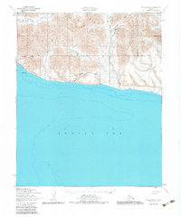
1950 Map of Teller B-5
USGS Topo · Published 1983About this map
The York Mountains dominate this 1950 coastal survey of the Seward Peninsula, where the Continental Divide winds through a landscape of high peaks and mineral-rich drainages. This area is defined by its industrial potential and isolation, with numerous Quarries and a Prospect noted near the mouth of the Lost River. Resource extraction is further evidenced by a Landing Strip and small Cabin structures situated near the coastline of the Bering Sea.
Find a feature on this map
26 named features on this map. Tap any name to fly to it.
Don’t see what you’re looking for? This feature index may not catch every label — zoom into the map to look around manually.
Map Details
Editions of this 1950 Teller B-5 Map
3 editions found
Other maps of this area

1950 · Teller
USGS Topo · 1:250,000

1950 · Teller B-4
USGS Topo · 1:63,360

1950 · Teller C-6
USGS Topo · 1:63,360

1950 · Teller C-4
USGS Topo · 1:63,360

1950 · Teller A-4
USGS Topo · 1:63,360
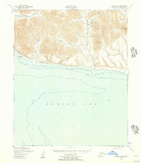
1950 · Teller B-5
USGS Topo · 1:63,360

1950 · Teller C-5
USGS Topo · 1:63,360
1950 · Teller B-6
USGS Topo · 1:63,360

1951 · Teller
USGS Topo · 1:250,000

1957 · Teller
USGS Topo · 1:250,000