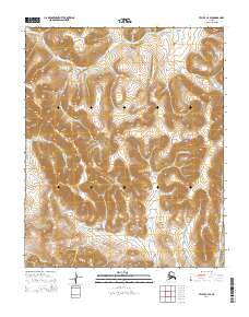
2014 Map of Teller C-4 SE
USGS Topo · Published 2014About this map
The Continental Divide carves through this remote landscape on the Seward Peninsula, separating the drainage systems of northern Nome. Waterways such as the Pinguk River and California River dominate the interior, their meandering paths traced through an unpopulated terrain where the natural elevation and hydrological patterns remain the primary features. This data reflects a 2014 snapshot of the region, captured with precision through modern systems like the National Elevation Dataset. Smaller tributaries like Elkington Cr and Deer Br feed into the larger river systems, illustrating the complex network of stream catchments that define this high-latitude watershed. The map provides a clear look at the topography of the York Mountains vicinity, where the Agiapuk River and Willow Br anchor the southern reaches of the quadrangle.
Find a feature on this map
13 named features on this map. Tap any name to fly to it.
Don’t see what you’re looking for? This feature index may not catch every label — zoom into the map to look around manually.
Map Details
Editions of this 2014 Teller C-4 SE Map
This is the sole edition of this map. No revisions or reprints were ever made.
Other maps of this area

1950 · Teller
USGS Topo · 1:250,000

1950 · Teller B-4
USGS Topo · 1:63,360

1950 · Teller C-3
USGS Topo · 1:63,360

1950 · Teller C-4
USGS Topo · 1:63,360

1950 · Teller B-3
USGS Topo · 1:63,360

1951 · Teller
USGS Topo · 1:250,000

1957 · Teller
USGS Topo · 1:250,000

1958 · Teller
USGS Topo · 1:250,000
2014 · Teller C-4 SW
USGS Topo · 1:25,000
2014 · Teller B-4 NW
USGS Topo · 1:25,000