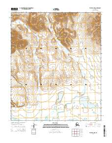
2014 Map of Teller B-4 NW
USGS Topo · Published 2014About this map
Don River meanders across this northern landscape, carving a wide valley through the interior before reaching the coastal lowlands. The survey highlights a hydrological network where Tozer Cr and Constance Cr feed into the larger river system, reflecting the drainage patterns of the Seward Peninsula. Toward the southern extent of the map, the terrain opens into the significant waters of Brevig Lagoon, which separates the mainland from the Bering Sea. This coastal interface is defined by intricate marshlands and smaller tributaries like Skull Cr and Thompson Cr. The absence of developed roads or named settlements emphasizes the character of this region as a managed wilderness, defined by its watercourses and the transition from upland creek beds to the tidal influence of the lagoon.
Find a feature on this map
12 named features on this map. Tap any name to fly to it.
Don’t see what you’re looking for? This feature index may not catch every label — zoom into the map to look around manually.
Map Details
Editions of this 2014 Teller B-4 NW Map
This is the sole edition of this map. No revisions or reprints were ever made.
Other maps of this area

1950 · Teller
USGS Topo · 1:250,000

1950 · Teller B-4
USGS Topo · 1:63,360

1950 · Teller C-4
USGS Topo · 1:63,360
1950 · Teller B-5
USGS Topo · 1:63,360

1950 · Teller C-5
USGS Topo · 1:63,360

1951 · Teller
USGS Topo · 1:250,000

1957 · Teller
USGS Topo · 1:250,000

1958 · Teller
USGS Topo · 1:250,000
2014 · Teller C-4 SW
USGS Topo · 1:25,000
2014 · Teller C-4 SE
USGS Topo · 1:25,000