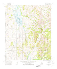
1955 Map of Candle B-4
USGS Topo · Published 1974About this map
The Continental Divide winds through this 1955 Alaskan wilderness, separating the drainage systems of the interior. The landscape is defined by its primary watercourses, including the West Fork Buckland River and the Koyuk River, which originate in the complex topography of the Seward Peninsula region. This survey, compiled from aerial photography, captures the terrain as it existed before any roads or permanent settlements were established in this particular corridor. The inclusion of the Kateel River Base Line serves as a critical surveying reference point for the region, while the East Fork adds further detail to the intricate river system that dominates the northern reaches of the quadrangle.
Find a feature on this map
5 named features on this map. Tap any name to fly to it.
Don’t see what you’re looking for? This feature index may not catch every label — zoom into the map to look around manually.
Map Details
Editions of this 1955 Candle B-4 Map
2 editions found
Other maps of this area

1950 · Candle C-5
USGS Topo · 1:63,360

1950 · Candle B-5
USGS Topo · 1:63,360

1950 · Candle A-5
USGS Topo · 1:63,360

1951 · Candle
USGS Topo · 1:250,000

1955 · Candle
USGS Topo · 1:250,000
1955 · Candle A-4
USGS Topo · 1:63,360

1955 · Candle B-3
USGS Topo · 1:63,360

1955 · Candle C-4
USGS Topo · 1:63,360

1955 · Candle C-3
USGS Topo · 1:63,360
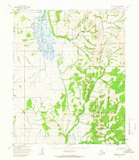
1955 · Candle B-4
USGS Topo · 1:63,360