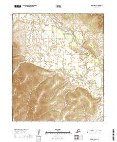
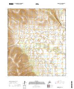
2017 Map of Solomon D-4 SE
USGS Topo · Published 2017About this map
The Niukluk River and Fish River dominate the drainage patterns of this portion of the Seward Peninsula, where seasonal waterways and tributaries carve through the upland terrain. The primary human corridor through this landscape is Council Road, which skirts the western edge of the quadrangle, providing a vital connection in a region otherwise defined by its hydrological network. The map reveals an intricate system of creeks, including Mystery Cr, Dry Mystery Cr, and Muchie Cr, which feed into the larger river systems.
Find a feature on this map
19 named features on this map. Tap any name to fly to it.
Don’t see what you’re looking for? This feature index may not catch every label — zoom into the map to look around manually.
Map Details
Editions of this 2017 Solomon D-4 SE Map
This is the sole edition of this map. No revisions or reprints were ever made.
Other maps of this area

1950 · Solomon C-4
USGS Topo · 1:63,360

1950 · Solomon D-3
USGS Topo · 1:63,360

1950 · Solomon
USGS Topo · 1:250,000

1950 · Solomon C-3
USGS Topo · 1:63,360

1950 · Solomon D-4
USGS Topo · 1:63,360

1951 · Solomon
USGS Topo · 1:250,000
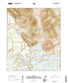
2017 · Solomon C-3 NW
USGS Topo · 1:25,000
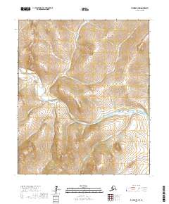
2017 · Solomon D-4 NW
USGS Topo · 1:25,000
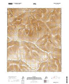
2017 · Solomon C-4 NW
USGS Topo · 1:25,000
2017 · Solomon C-4 NE
USGS Topo · 1:25,000