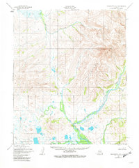
1950 Map of Bendeleben A-5
USGS Topo · Published 1982About this map
Mount Bendeleben dominates the northeastern landscape of this interior Seward Peninsula terrain, serving as the namesake peak for the surrounding Bendeleben Mountains. The area is defined by a dense network of high-altitude drainages that feed into larger regional waterways. The Niukluk River and Libby River serve as the primary conduits for the melting snowpack, winding through the lower elevations alongside smaller tributaries like Kingsley Cr and Hash Cr.
Find a feature on this map
11 named features on this map. Tap any name to fly to it.
Don’t see what you’re looking for? This feature index may not catch every label — zoom into the map to look around manually.
Map Details
Editions of this 1950 Bendeleben A-5 Map
3 editions found
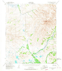
Other maps of this area

1907 · Casadepaga
USGS Topo · 1:62,500

1950 · Bendeleben A-6
USGS Topo · 1:63,360

1950 · Bendeleben B-5
USGS Topo · 1:63,360

1950 · Bendeleben A-4
USGS Topo · 1:63,360

1950 · Bendeleben B-6
USGS Topo · 1:63,360

1950 · Bendeleben A-5
USGS Topo · 1:63,360

1950 · Bendeleben B-4
USGS Topo · 1:63,360

1950 · Bendeleben
USGS Topo · 1:250,000

1950 · Solomon
USGS Topo · 1:250,000

1950 · Solomon D-6
USGS Topo · 1:63,360