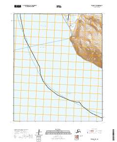
2020 Map of Teller C-7 SE
USGS Topo · Published 2020About this map
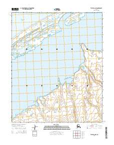
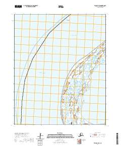
Wales stands at the extreme western edge of the Seward Peninsula, marking a critical geographic junction where the Chukchi Sea meets the Bering Strait. This area is defined by the high elevations of Cape Mtn and the prominent Continental Divide, which runs through the northern reaches of the peninsula near Cape Prince of Wales. The settlement is connected by a sparse network of local tracks including Naval Station Rd and Kingikgin Road, serving the community and the nearby Wales Airport. To the north, the landscape transitions into the low-lying waters of Lopp Lagoon and the drainage of Village Cr. This map illustrates the intersection of maritime significance and high-latitude terrain at the continental edge, where the Bering Sea extends southward toward Norton Sound.
Find a feature on this map
42 named features on this map. Tap any name to fly to it.
Don’t see what you’re looking for? This feature index may not catch every label — zoom into the map to look around manually.
Map Details
Editions of this 2020 Teller C-7 SE Map
This is the sole edition of this map. No revisions or reprints were ever made.
Other maps of this area

1950 · Teller
USGS Topo · 1:250,000

1950 · Teller C-6
USGS Topo · 1:63,360
1950 · Teller C-7
USGS Topo · 1:63,360
1950 · Teller B-6
USGS Topo · 1:63,360

1951 · Teller
USGS Topo · 1:250,000

1957 · Teller
USGS Topo · 1:250,000

1958 · Teller
USGS Topo · 1:250,000
2014 · Teller C-6 SW
USGS Topo · 1:25,000
2014 · Teller C-6 NW
USGS Topo · 1:25,000
2020 · Teller C-7 NE
USGS Topo · 1:25,000