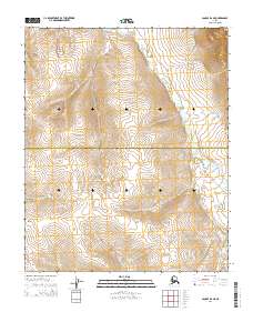
2014 Map of Candle B-6 NE
USGS Topo · Published 2014About this map
The Northwest Arctic Borough Nome Census Area boundary cuts across this remote landscape, marking a jurisdictional divide in the Alaskan interior. The terrain is defined by the winding course of the Kiwalik River, which flows through the northern half of the quadrangle. In the southeast, Wilson Cr carves its way through the hills, illustrating the drainage patterns of the Seward Peninsula. A significant historical element of this map is the Old Mail Route, which traverses the eastern side of the river. This trail serves as a reminder of early 20th-century transportation networks that once linked remote Arctic outposts before modern infrastructure, following the natural contours of the river valley to facilitate travel through the seasonal elements.
Find a feature on this map
8 named features on this map. Tap any name to fly to it.
Don’t see what you’re looking for? This feature index may not catch every label — zoom into the map to look around manually.
Map Details
Editions of this 2014 Candle B-6 NE Map
This is the sole edition of this map. No revisions or reprints were ever made.
Other maps of this area

1950 · Candle C-5
USGS Topo · 1:63,360

1950 · Candle B-5
USGS Topo · 1:63,360

1950 · Candle B-6
USGS Topo · 1:63,360

1950 · Candle C-6
USGS Topo · 1:63,360

1951 · Candle
USGS Topo · 1:250,000

1955 · Candle
USGS Topo · 1:250,000

1964 · Candle
USGS Topo · 1:250,000
2014 · Candle C-6 SE
USGS Topo · 1:25,000
2014 · Candle C-5 SW
USGS Topo · 1:25,000
2014 · Candle B-5 NW
USGS Topo · 1:25,000