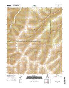
2014 Map of Candle B-2 NW
USGS Topo · Published 2014About this map
The Continental Divide winds through this high-latitude terrain, marking a significant hydrologic boundary between the Northwest Arctic Borough and the Nome Census Area. This topographic study reveals a landscape defined by drainage patterns and elevation, with Kalusuk Cr flowing through the northwestern portion of the map. The boundary line between the borough and census area serves as a primary geographic anchor for researchers tracing regional administrative limits in this part of Alaska. While largely devoid of named settlements, the map provides detailed contours of the surrounding peaks and valleys, illustrating the natural transit corridors that follow the water courses like Kalusuk Cr away from the divide.
Find a feature on this map
7 named features on this map. Tap any name to fly to it.
Don’t see what you’re looking for? This feature index may not catch every label — zoom into the map to look around manually.
Map Details
Editions of this 2014 Candle B-2 NW Map
This is the sole edition of this map. No revisions or reprints were ever made.
Other maps of this area

1951 · Candle
USGS Topo · 1:250,000

1954 · Candle C-2
USGS Topo · 1:63,360

1954 · Candle B-2
USGS Topo · 1:63,360

1955 · Candle
USGS Topo · 1:250,000

1955 · Candle B-3
USGS Topo · 1:63,360

1955 · Candle C-3
USGS Topo · 1:63,360

1964 · Candle
USGS Topo · 1:250,000
2014 · Candle C-3 SE
USGS Topo · 1:25,000
2014 · Candle B-3 NE
USGS Topo · 1:25,000
2014 · Candle C-2 SW
USGS Topo · 1:25,000