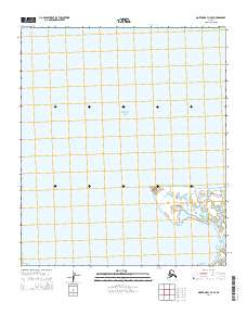
2014 Map of Norton Bay C-5 SE
USGS Topo · Published 2014About this map
The Bering Sea dominates this coastal survey, where the Alaskan shoreline meets the cold waters of Reindeer Cove. The landscape is defined by low-lying maritime terrain and distinct coastal landmarks like Island Point and Little Mountain. This map illustrates the intersection of Township 11 South with Ranges 12 and 13 West, revealing a remote expanse where the land dissolves into a network of small ponds and tidal inlets. The lack of infrastructure or modern settlements suggests a region primarily influenced by seasonal environmental cycles and traditional coastal access rather than industrial development.
Find a feature on this map
6 named features on this map. Tap any name to fly to it.
Don’t see what you’re looking for? This feature index may not catch every label — zoom into the map to look around manually.
Map Details
Editions of this 2014 Norton Bay C-5 SE Map
This is the sole edition of this map. No revisions or reprints were ever made.
Other maps of this area

1948 · Norton Bay
USGS Topo · 1:250,000

1950 · Norton Bay B-5
USGS Topo · 1:63,360

1950 · Norton Bay B-4
USGS Topo · 1:63,360

1950 · Norton Bay C-5
USGS Topo · 1:63,360

1950 · Norton Bay C-4
USGS Topo · 1:63,360

1951 · Norton Bay
USGS Topo · 1:250,000

1955 · Norton Bay
USGS Topo · 1:250,000
2014 · Norton Bay C-4 NW
USGS Topo · 1:25,000
2014 · Norton Bay B-5 NW
USGS Topo · 1:25,000
2014 · Norton Bay C-5 SW
USGS Topo · 1:25,000