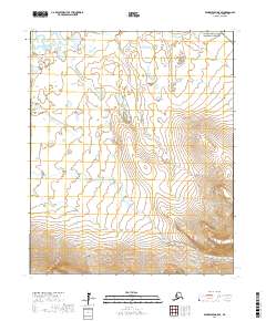
2017 Map of Bendeleben B-5 SE
USGS Topo · Published 2017About this map
Bering Land Bridge National Preserve occupies the northeastern corner of this remote landscape on the Seward Peninsula, where the transition from low-lying wetlands to high mountain peaks is starkly defined. The northern half of the region is dominated by the Kuzitrin Flats, a vast expanse of water-rich tundra fed by the Kuzitrin River and its various tributaries like Bonanza Cr. This hydrological pattern of wandering streams and small ponds reflects the complex drainage of the Arctic sub-surface. To the south, the topography shifts dramatically as the land rises into the Bendeleben Mountains, where steep ridgelines provide a sharp contrast to the saturated plains below. The drainage of Birch Creek carves through these southern slopes, illustrating the relationship between the mountain runoff and the northern alluvial flats.
Find a feature on this map
14 named features on this map. Tap any name to fly to it.
Don’t see what you’re looking for? This feature index may not catch every label — zoom into the map to look around manually.
Map Details
Editions of this 2017 Bendeleben B-5 SE Map
This is the sole edition of this map. No revisions or reprints were ever made.
Other maps of this area

1950 · Bendeleben B-5
USGS Topo · 1:63,360

1950 · Bendeleben A-4
USGS Topo · 1:63,360

1950 · Bendeleben A-5
USGS Topo · 1:63,360

1950 · Bendeleben B-4
USGS Topo · 1:63,360

1950 · Bendeleben
USGS Topo · 1:250,000

1951 · Bendeleben
USGS Topo · 1:250,000

1964 · Bendeleben
USGS Topo · 1:250,000

1970 · Bendeleben A-4
USGS Topo · 1:63,360
2017 · Bendeleben B-5 NE
USGS Topo · 1:25,000
2017 · Bendeleben A-5 NE
USGS Topo · 1:25,000