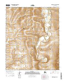
2014 Map of Norton Bay D-4 NE
USGS Topo · Published 2014About this map
The Akulik River and Inglutalik River dominate this interior Alaskan landscape, meandering through a terrain defined by subtle elevation changes and expansive drainage basins. This 2014 survey captures a remote wilderness area within the Public Land Survey System designations of t6s r10w, t6s r9w, t7s r10w, and t7s r9w. The most significant human footprint shown is the Tipuktuluaraq Route, which tracks north-south between the river systems, likely serving as a vital overland passage in a region devoid of developed road networks. The intricate braided channels of the Tipooktulearuk River in the northeast corner illustrate the dynamic nature of the local hydrology, where water movement is the primary architect of the land.
Find a feature on this map
8 named features on this map. Tap any name to fly to it.
Don’t see what you’re looking for? This feature index may not catch every label — zoom into the map to look around manually.
Map Details
Editions of this 2014 Norton Bay D-4 NE Map
This is the sole edition of this map. No revisions or reprints were ever made.
Other maps of this area

1948 · Norton Bay
USGS Topo · 1:250,000

1950 · Norton Bay D-4
USGS Topo · 1:63,360

1950 · Norton Bay D-3
USGS Topo · 1:63,360

1951 · Candle
USGS Topo · 1:250,000

1951 · Norton Bay
USGS Topo · 1:250,000

1955 · Candle
USGS Topo · 1:250,000

1955 · Norton Bay
USGS Topo · 1:250,000
1955 · Candle A-4
USGS Topo · 1:63,360

1964 · Candle
USGS Topo · 1:250,000
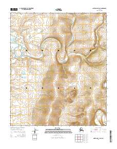
2014 · Norton Bay D-4 SE
USGS Topo · 1:25,000