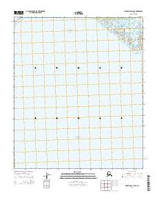
2014 Map of Norton Bay D-5 SE
USGS Topo · Published 2014About this map
Bering Sea waters dominate this coastal survey, where the vast marine environment meets the shoreline of western Alaska. The map focuses on a segment of Norton Bay, a major inlet that has historically served as a critical waterway for the region's coastal communities and subsistence activities. The landscape is primarily defined by the tidal and marine expanse, with the terrestrial portion organized by the Public Land Survey System grids of t7s r13w, t7s r12w, and t8s r13w. These townships provide a structural reference for the remote coastal terrain at the edge of the subarctic. Given the sparse naming of inland features, the survey emphasizes the relationship between the coastal shelf and the open water, documenting the shoreline geometry as it existed in the early 21st century.
Find a feature on this map
5 named features on this map. Tap any name to fly to it.
Don’t see what you’re looking for? This feature index may not catch every label — zoom into the map to look around manually.
Map Details
Editions of this 2014 Norton Bay D-5 SE Map
This is the sole edition of this map. No revisions or reprints were ever made.
Other maps of this area

1948 · Norton Bay
USGS Topo · 1:250,000

1950 · Norton Bay D-5
USGS Topo · 1:63,360

1950 · Norton Bay D-4
USGS Topo · 1:63,360

1950 · Norton Bay C-5
USGS Topo · 1:63,360

1950 · Norton Bay C-4
USGS Topo · 1:63,360

1951 · Norton Bay
USGS Topo · 1:250,000

1955 · Norton Bay
USGS Topo · 1:250,000
2014 · Norton Bay C-4 NW
USGS Topo · 1:25,000
2014 · Norton Bay D-4 SW
USGS Topo · 1:25,000
2014 · Norton Bay D-5 SW
USGS Topo · 1:25,000