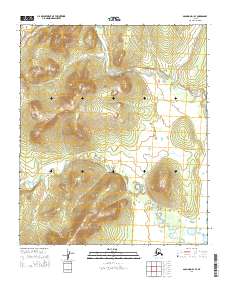
2014 Map of Solomon D-1 SE
USGS Topo · Published 2014About this map
Tubutulik River and Kwiniuk River flow through this undeveloped portion of the Seward Peninsula, recorded during a 2014 U.S. Geological Survey study. The terrain is characterized by significant elevation changes, with the northern reaches marked by Clear Cr. This map represents a primitive landscape where the primary defining features are the complex drainage basins of these river systems rather than human settlements. The survey reflects the raw natural state of this Alaskan wilderness at the start of the 21st century, providing a clear view of the hydrological patterns and topographic contours that define the region between the Norton Bay and the interior highlands.
Find a feature on this map
7 named features on this map. Tap any name to fly to it.
Don’t see what you’re looking for? This feature index may not catch every label — zoom into the map to look around manually.
Map Details
Editions of this 2014 Solomon D-1 SE Map
This is the sole edition of this map. No revisions or reprints were ever made.
Other maps of this area

1948 · Norton Bay
USGS Topo · 1:250,000

1950 · Norton Bay D-6
USGS Topo · 1:63,360

1950 · Solomon C-1
USGS Topo · 1:63,360

1950 · Norton Bay C-6
USGS Topo · 1:63,360

1950 · Solomon D-1
USGS Topo · 1:63,360

1950 · Solomon
USGS Topo · 1:250,000

1951 · Solomon
USGS Topo · 1:250,000

1951 · Norton Bay
USGS Topo · 1:250,000

1955 · Norton Bay
USGS Topo · 1:250,000
2014 · Solomon D-1 NE
USGS Topo · 1:25,000