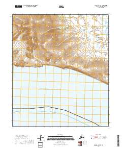
2018 Map of Solomon C-4 SE
USGS Topo · Published 2018About this map
Donahue Mtn and the coastal bluffs overlooking Norton Sound define the physical layout of this section of the Seward Peninsula. The landscape is marked by a series of south-draining watercourses, including Daniels Cr, Koyana Cr, and Grizzly Cr, which cut through the terrain toward the shoreline. Distinctive landmarks such as Square Rock stand along the coast, while interior features like Black Chief Gulch and Swedish Gulch indicate the localized naming conventions of the region's geography. The mapping of Eldorado Creek in the northeast and Basin Cr in the northwest shows a terrain defined by drainage patterns typical of the Nome Census Area, where the topography transitions from high points like Donahue Mtn down to the sea.
Find a feature on this map
15 named features on this map. Tap any name to fly to it.
Don’t see what you’re looking for? This feature index may not catch every label — zoom into the map to look around manually.
Map Details
Editions of this 2018 Solomon C-4 SE Map
This is the sole edition of this map. No revisions or reprints were ever made.
Other maps of this area

1950 · Solomon B-3
USGS Topo · 1:63,360

1950 · Solomon C-4
USGS Topo · 1:63,360

1950 · Solomon
USGS Topo · 1:250,000

1950 · Solomon C-3
USGS Topo · 1:63,360

1951 · Solomon
USGS Topo · 1:250,000
2014 · Solomon B-3 NW
USGS Topo · 1:25,000
2017 · Solomon C-3 NW
USGS Topo · 1:25,000
2017 · Solomon C-4 NW
USGS Topo · 1:25,000
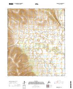
2017 · Solomon C-4 NE
USGS Topo · 1:25,000
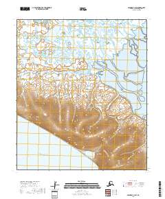
2018 · Solomon C-3 SW
USGS Topo · 1:25,000