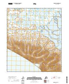
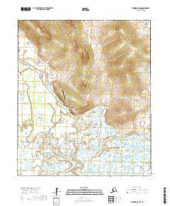
2018 Map of Solomon C-3 SW
USGS Topo · Published 2018About this map
The coastal and riverine landscape of the Seward Peninsula is dominated here by the meandering path of the Fish River as it approaches the vast waters of Norton Sound. The terrain transitions from high, contoured ridges in the south to a complex network of wetlands and tidal flats in the north, where the river braids across the floodplain. Small waterways like Shamrock Cr and Eldorado Creek feed into the larger hydrologic system, illustrating the drainage patterns that define this stretch of the Alaska coast. This 2018 survey by the U.S. Geological Survey provides a detailed view of the natural topography and township boundaries, including t11s r24w and t10s r23w, in an area devoid of modern infrastructure or permanent settlements.
Find a feature on this map
8 named features on this map. Tap any name to fly to it.
Don’t see what you’re looking for? This feature index may not catch every label — zoom into the map to look around manually.
Map Details
Editions of this 2018 Solomon C-3 SW Map
This is the sole edition of this map. No revisions or reprints were ever made.
Other maps of this area

1950 · Solomon B-3
USGS Topo · 1:63,360

1950 · Solomon C-4
USGS Topo · 1:63,360

1950 · Solomon
USGS Topo · 1:250,000

1950 · Solomon C-3
USGS Topo · 1:63,360

1951 · Solomon
USGS Topo · 1:250,000

2014 · Solomon C-3 SE
USGS Topo · 1:25,000
2014 · Solomon B-3 NE
USGS Topo · 1:25,000
2014 · Solomon B-3 NW
USGS Topo · 1:25,000
2017 · Solomon C-3 NE
USGS Topo · 1:25,000
2017 · Solomon C-3 NW
USGS Topo · 1:25,000