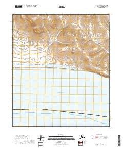
2018 Map of Solomon C-5 SE
USGS Topo · Published 2018About this map
Norton Sound defines the southern portion of this coastal landscape, where the cold waters of the Bering Sea meet the Seward Peninsula. The shoreline is marked by the prominent Topkok Head and the expansive Taylor Lagoon, which acts as a transition between the open sea and the network of drainages to the north. Numerous creeks, including Santa Cruz Cr, Cache Cr, and Beaton Cr, flow southward through the uplands toward the coast. The naming of features like Lodestone Cr and Magnet Cr suggests a landscape historically surveyed with an eye toward its mineral potential, a common theme in the Nome Census Area. This 2018 U.S. Geological Survey representation documents the precise coastal contours and hydrological patterns of this sparsely settled territory.
Find a feature on this map
14 named features on this map. Tap any name to fly to it.
Don’t see what you’re looking for? This feature index may not catch every label — zoom into the map to look around manually.
Map Details
Editions of this 2018 Solomon C-5 SE Map
This is the sole edition of this map. No revisions or reprints were ever made.
Other maps of this area

1907 · Solomon
USGS Topo · 1:62,500

1950 · Solomon C-5
USGS Topo · 1:63,360

1950 · Solomon C-4
USGS Topo · 1:63,360

1950 · Solomon
USGS Topo · 1:250,000

1951 · Solomon
USGS Topo · 1:250,000
2017 · Solomon C-5 NW
USGS Topo · 1:25,000
2017 · Solomon C-5 NE
USGS Topo · 1:25,000
2017 · Solomon C-4 NW
USGS Topo · 1:25,000
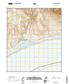
2018 · Solomon C-5 SW
USGS Topo · 1:25,000
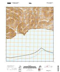
2018 · Solomon C-4 SW
USGS Topo · 1:25,000