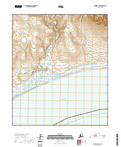
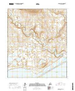
2018 Map of Solomon C-5 SW
USGS Topo · Published 2018About this map
The Solomon River and Bonanza River converge near the coastline of Norton Sound, defining a landscape where coastal lagoons and tidal wetlands meet the southern edge of the Seward Peninsula. The settlement of Solomon sits at a critical junction where the Council Road navigates the transition from the shore to the interior. Nearby, Solomon State Field and Point Warren mark the human footprint on this exposed reach of the Alaska coast. To the north, the terrain rises toward Uncle Sam Mtn, drained by numerous small watercourses including Uncle Sam Cr and Battle Cr. The map captures the remote infrastructure of the Nome Census Area, from the seasonal outpost at Lees Camp to the network of creeks like Shovel Cr and Jeromie Cr that once drew prospectors to this gold-bearing region.
Find a feature on this map
22 named features on this map. Tap any name to fly to it.
Don’t see what you’re looking for? This feature index may not catch every label — zoom into the map to look around manually.
Map Details
Editions of this 2018 Solomon C-5 SW Map
This is the sole edition of this map. No revisions or reprints were ever made.
Other maps of this area

1907 · Solomon
USGS Topo · 1:62,500

1950 · Solomon C-5
USGS Topo · 1:63,360

1950 · Solomon C-6
USGS Topo · 1:63,360

1950 · Solomon B-6
USGS Topo · 1:63,360

1950 · Solomon
USGS Topo · 1:250,000

1951 · Solomon
USGS Topo · 1:250,000
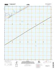
2014 · Solomon B-6 NE
USGS Topo · 1:25,000
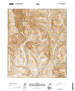
2017 · Solomon C-5 NW
USGS Topo · 1:25,000
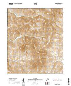
2017 · Solomon C-5 NE
USGS Topo · 1:25,000
2017 · Solomon C-6 SE
USGS Topo · 1:25,000