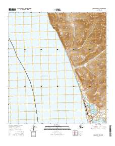
2016 Map of Unalakleet D-4 NW
USGS Topo · Published 2016About this map
Norton Sound meets the coast of the Nome Census Area in this detailed topographic study of the coastal landscape. The village of Unalakleet serves as the focal point of the shoreline, situated at a transition between the seawater and the complex network of inland waterways. Transportation infrastructure is prominent, centered on the Unalakleet Airport and a series of specialized routes including Shaktoolik Road and Blueberry Road Harbor Access.
Find a feature on this map
21 named features on this map. Tap any name to fly to it.
Don’t see what you’re looking for? This feature index may not catch every label — zoom into the map to look around manually.
Map Details
Editions of this 2016 Unalakleet D-4 NW Map
This is the sole edition of this map. No revisions or reprints were ever made.
Other maps of this area

1948 · Norton Bay
USGS Topo · 1:250,000

1950 · Norton Bay A-4
USGS Topo · 1:63,360

1950 · Unalakleet D-4
USGS Topo · 1:63,360

1951 · Unalakleet
USGS Topo · 1:250,000

1951 · Norton Bay
USGS Topo · 1:250,000

1952 · Unalakleet
USGS Topo · 1:250,000

1955 · Norton Bay
USGS Topo · 1:250,000

1964 · Unalakleet
USGS Topo · 1:250,000
2014 · Norton Bay A-4 SW
USGS Topo · 1:25,000
2015 · Norton Bay A-4 SE
USGS Topo · 1:25,000