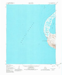
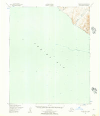
1950 Map of Teller C-7
USGS Topo · Published 1982About this map
Wales sits at the westernmost tip of the American mainland, a critical point where the Bering Strait meets the Seward Peninsula. This 1950 coastal survey documents the community at a time when traditional transportation and early modern infrastructure coexisted. Navigation across the treacherous waters and marshy tundra is evidenced by a network of seasonal routes, including a Winter Trail, a Tractor Trail, and the Village Creek Trail.
Find a feature on this map
17 named features on this map. Tap any name to fly to it.
Don’t see what you’re looking for? This feature index may not catch every label — zoom into the map to look around manually.
Map Details
Editions of this 1950 Teller C-7 Map
3 editions found
Other maps of this area

1950 · Teller
USGS Topo · 1:250,000

1950 · Teller C-6
USGS Topo · 1:63,360
1950 · Teller C-7
USGS Topo · 1:63,360
1950 · Teller D-6
USGS Topo · 1:63,360
1950 · Teller B-6
USGS Topo · 1:63,360

1951 · Teller
USGS Topo · 1:250,000

1957 · Teller
USGS Topo · 1:250,000

1958 · Teller
USGS Topo · 1:250,000
2014 · Teller C-6 SW
USGS Topo · 1:25,000
2014 · Teller C-6 NW
USGS Topo · 1:25,000