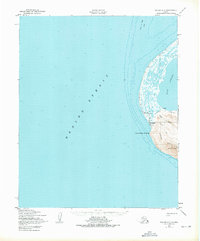
1950 Map of Teller C-7
USGS Topo · Published 1975About this map
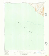
Cape Prince of Wales stands as the westernmost point of the mainland American continent on this mid-century survey, where the waters of the Bering Strait meet the land within the Kingegan Reserve. The settlement of Kingegan serves as the primary hub of human activity, situated near a local School and a protected Landing Strip. The map illustrates a landscape of extreme transitions, from the shallow reaches of Lopp Lagoon and the Prince of Wales Shoal to the heights of Cape Mountain. This coastal area is connected by a network of seasonal routes, including a Winter Trail and a Tractor Trail that navigate the terrain between the coast and the Continental Divide. Evidence of resource exploration is noted near the mountain at a Prospect, while the small settlement of Belmezok appears further north along the narrow coastal strip, reflecting the sparse but enduring settlement patterns of the Wales Indian Reservation.
Find a feature on this map
18 named features on this map. Tap any name to fly to it.
Don’t see what you’re looking for? This feature index may not catch every label — zoom into the map to look around manually.
Map Details
Editions of this 1950 Teller C-7 Map
3 editions found
Other maps of this area

1950 · Teller
USGS Topo · 1:250,000

1950 · Teller C-6
USGS Topo · 1:63,360
1950 · Teller C-7
USGS Topo · 1:63,360
1950 · Teller D-6
USGS Topo · 1:63,360
1950 · Teller B-6
USGS Topo · 1:63,360

1951 · Teller
USGS Topo · 1:250,000

1957 · Teller
USGS Topo · 1:250,000

1958 · Teller
USGS Topo · 1:250,000
2014 · Teller C-6 SW
USGS Topo · 1:25,000
2014 · Teller C-6 NW
USGS Topo · 1:25,000