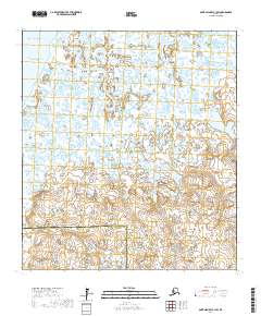
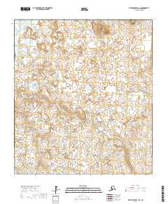
2017 Map of Saint Michael B-1 SW
USGS Topo · Published 2017About this map
Norton Sound and the Pacific Ocean dominate the northwestern edge of this landscape, where the coast meets a vast network of wetlands and tidal channels. The Kuiak River meanders extensively through the center of the sheet, characterized by extreme oxbow bends and intricate loops that signal a very low-gradient deltaic environment. To the east, the Nunuvulnuk River contributes to this complex hydrological system. This 2017 survey also documents a significant administrative boundary, as the border between Nome Census Area and Kusilvak Census Area cuts across the southern portion of the map. The terrain is defined by hundreds of small, unnamed thermokarst lakes and ponds, illustrating the permafrost-influenced geography typical of the Alaskan coastline.
Find a feature on this map
11 named features on this map. Tap any name to fly to it.
Don’t see what you’re looking for? This feature index may not catch every label — zoom into the map to look around manually.
Map Details
Editions of this 2017 Saint Michael B-1 SW Map
This is the sole edition of this map. No revisions or reprints were ever made.
Other maps of this area

1951 · St Michael
USGS Topo · 1:250,000
1952 · Saint Michael B-2
USGS Topo · 1:63,360

1952 · Saint Michael B-1
USGS Topo · 1:63,360

1952 · Saint Michael A-1
USGS Topo · 1:63,360

1952 · Saint Michael A-2
USGS Topo · 1:63,360

1952 · St Michael
USGS Topo · 1:250,000

1964 · St. Michael
USGS Topo · 1:250,000
2017 · Saint Michael A-2 NE
USGS Topo · 1:25,000
2017 · Saint Michael A-1 NW
USGS Topo · 1:25,000
2017 · Saint Michael B-1 SE
USGS Topo · 1:25,000