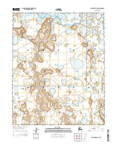
2014 Map of Shishmaref A-1 SW
USGS Topo · Published 2014About this map
The Bering Land Bridge National Preserve dominates this portion of the Seward Peninsula, protecting a landscape where the Serpentine River and its tributaries carve through the tundra. The hydrologic network is the primary defining feature of this terrain, characterized by the winding path of the main river and the S Fork Serpentine River in the east. This 2014 survey documents the intricate drainage patterns of the region, including the seasonal flow of Eldorado Cr as it traverses the western sections. The absence of roads or permanent structures reflects the protected status of the preserve, emphasizing a wilderness character defined solely by its water systems and the natural relief of the Alaskan interior.
Find a feature on this map
8 named features on this map. Tap any name to fly to it.
Don’t see what you’re looking for? This feature index may not catch every label — zoom into the map to look around manually.
Map Details
Editions of this 2014 Shishmaref A-1 SW Map
This is the sole edition of this map. No revisions or reprints were ever made.
Other maps of this area

1950 · Teller
USGS Topo · 1:250,000

1950 · Shishmaref
USGS Topo · 1:250,000

1950 · Shishmaref A-1
USGS Topo · 1:63,360

1950 · Teller D-2
USGS Topo · 1:63,360

1950 · Shishmaref A-2
USGS Topo · 1:63,360

1950 · Teller D-1
USGS Topo · 1:63,360

1951 · Shishmaref
USGS Topo · 1:250,000

1951 · Teller
USGS Topo · 1:250,000

1957 · Teller
USGS Topo · 1:250,000

1958 · Teller
USGS Topo · 1:250,000