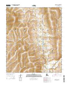
2014 Map of Candle A-4 SE
USGS Topo · Published 2014About this map
Tipooktulearuk River winds through this expanse of the Seward Peninsula, providing a primary drainage route for the interior terrain. The landscape is defined by the complex water systems of the Inglutalik River valley, where the hydrology dictates the patterns of movement across the tundra. Unlike many developed coastal regions, this area remains characterized by its traditional transport corridors, most notably the Tipuktuluaraq Route. This historic overland trail follows the north-south alignment of the river system, serving as a critical link for inland travel and subsistence activities within the Nome region. The map preserves the specific spatial relationship between these watercourses and the seasonal routes that have long facilitated transit through the remote Alaskan wilderness.
Find a feature on this map
9 named features on this map. Tap any name to fly to it.
Don’t see what you’re looking for? This feature index may not catch every label — zoom into the map to look around manually.
Map Details
Editions of this 2014 Candle A-4 SE Map
This is the sole edition of this map. No revisions or reprints were ever made.
Other maps of this area

1948 · Norton Bay
USGS Topo · 1:250,000

1950 · Norton Bay D-4
USGS Topo · 1:63,360

1950 · Norton Bay D-3
USGS Topo · 1:63,360

1951 · Candle
USGS Topo · 1:250,000

1951 · Norton Bay
USGS Topo · 1:250,000

1955 · Candle
USGS Topo · 1:250,000

1955 · Norton Bay
USGS Topo · 1:250,000
1955 · Candle A-4
USGS Topo · 1:63,360

1964 · Candle
USGS Topo · 1:250,000
2014 · Candle A-4 NE
USGS Topo · 1:25,000