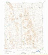
1950 Map of Teller C-1
USGS Topo · Published 1967About this map
The Continental Divide cuts through this Seward Peninsula landscape, defining the high drainage basins of the Kougarok region. Surveyed by the Army Map Service shortly after the war, the map reveals a remote mining and transit landscape where infrastructure is built around the seasonal movement of water and equipment. The presence of the Bismarck Ditch and the Winter Trail highlights the ingenuity required to navigate and mine this terrain, where a lone Mine and Cabin near Washington Creek represent the isolated human footprint of the era.
Find a feature on this map
25 named features on this map. Tap any name to fly to it.
Don’t see what you’re looking for? This feature index may not catch every label — zoom into the map to look around manually.
Map Details
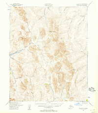
Editions of this 1950 Teller C-1 Map
2 editions found
Other maps of this area

1950 · Bendeleben B-6
USGS Topo · 1:63,360

1950 · Bendeleben C-6
USGS Topo · 1:63,360

1950 · Bendeleben D-6
USGS Topo · 1:63,360

1950 · Teller
USGS Topo · 1:250,000

1950 · Bendeleben
USGS Topo · 1:250,000

1950 · Teller B-2
USGS Topo · 1:63,360

1950 · Teller B-1
USGS Topo · 1:63,360

1950 · Teller D-2
USGS Topo · 1:63,360

1950 · Teller C-2
USGS Topo · 1:63,360

1950 · Teller D-1
USGS Topo · 1:63,360