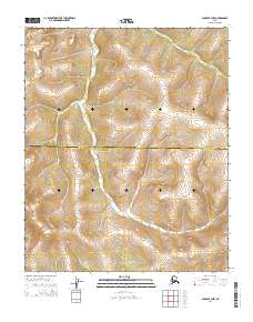
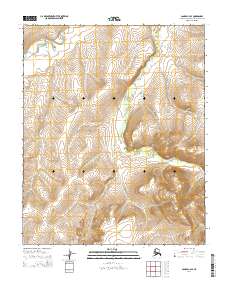
2014 Map of Candle B-3 NW
USGS Topo · Published 2014About this map
Talik Ridge rises as the central topographic landmark in this unpopulated expanse of the Alaska interior. The map documents the high-latitude terrain within the Northwest Arctic Borough Nome Census Area, characterized by complex contouring and a notable lack of modern infrastructure or permanent settlements. This remote section of the Seward Peninsula is defined primarily by its surveying grid, including t1n r9w and t1s r8w, which organize the vast landscape. The lack of roads or established trails on the 2014 survey highlights the preserved wilderness character of the region, where topographical features like the ridge provide the only orientation for navigation or geological study in the absence of human development.
Find a feature on this map
6 named features on this map. Tap any name to fly to it.
Don’t see what you’re looking for? This feature index may not catch every label — zoom into the map to look around manually.
Map Details
Editions of this 2014 Candle B-3 NW Map
This is the sole edition of this map. No revisions or reprints were ever made.
Other maps of this area

1951 · Candle
USGS Topo · 1:250,000

1955 · Candle
USGS Topo · 1:250,000

1955 · Candle B-3
USGS Topo · 1:63,360

1955 · Candle C-4
USGS Topo · 1:63,360

1955 · Candle C-3
USGS Topo · 1:63,360
1955 · Candle B-4
USGS Topo · 1:63,360

1964 · Candle
USGS Topo · 1:250,000
2014 · Candle C-3 SE
USGS Topo · 1:25,000
2014 · Candle C-3 SW
USGS Topo · 1:25,000
2014 · Candle C-4 SE
USGS Topo · 1:25,000