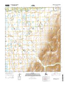
2014 Map of Norton Bay B-4 SW
USGS Topo · Published 2014About this map
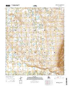
The Shaktoolik River winds through the northern reaches of this landscape, anchoring a complex system of drainage and wetlands in the Norton Bay region. This 2014 survey reveals a transition from the winding waterways of the Tagoomenik River to the rising elevations of the eastern hills, where Afternoon Cr begins its descent. The land is defined by its hydrology, with numerous small lakes and ponds scattered across the tundra between the primary river channels. At the southwestern edge, Beeson Slough marks the edge of a low-lying riparian environment. The map captures the area as it appeared in the early 21st century, illustrating the township lines of t13s r12w, t13s r11w, and the corresponding southern sections, which provide a modern grid over this remote subarctic terrain.
Find a feature on this map
8 named features on this map. Tap any name to fly to it.
Don’t see what you’re looking for? This feature index may not catch every label — zoom into the map to look around manually.
Map Details
Editions of this 2014 Norton Bay B-4 SW Map
This is the sole edition of this map. No revisions or reprints were ever made.
Other maps of this area

1948 · Norton Bay
USGS Topo · 1:250,000

1950 · Norton Bay B-5
USGS Topo · 1:63,360

1950 · Norton Bay B-4
USGS Topo · 1:63,360

1950 · Norton Bay A-4
USGS Topo · 1:63,360

1951 · Norton Bay
USGS Topo · 1:250,000

1955 · Norton Bay
USGS Topo · 1:250,000
2014 · Norton Bay B-5 SE
USGS Topo · 1:25,000
2014 · Norton Bay B-5 NE
USGS Topo · 1:25,000
2014 · Norton Bay A-4 NW
USGS Topo · 1:25,000
2014 · Norton Bay B-4 NW
USGS Topo · 1:25,000