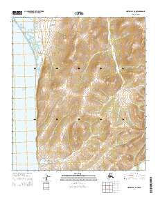
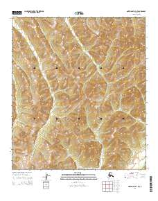
2014 Map of Norton Bay A-4 NW
USGS Topo · Published 2014About this map
Norton Sound defines the western edge of this coastal landscape, where the tides meet a network of wetlands and tidal channels. The presence of Beeson Slough and the lower reaches of the Tagoomenik River suggest a dynamic environment of shifting water and low-lying terrain. While largely uninhabited by permanent settlements, the area is accessible by a handful of foundational routes, including Foothills Road and Shaktoolik Road, which track the interior transition away from the coast. Inland, the map reveals a series of drainages such as Junction Cr and Egavik Cr that cut through the topography. This 2014 survey captures a moment when traditional travel corridors like Steamboat Road remain the primary human imprint on this stretch of the Alaskan coastline.
Find a feature on this map
14 named features on this map. Tap any name to fly to it.
Don’t see what you’re looking for? This feature index may not catch every label — zoom into the map to look around manually.
Map Details
Editions of this 2014 Norton Bay A-4 NW Map
This is the sole edition of this map. No revisions or reprints were ever made.
Other maps of this area

1948 · Norton Bay
USGS Topo · 1:250,000

1950 · Norton Bay B-5
USGS Topo · 1:63,360

1950 · Norton Bay B-4
USGS Topo · 1:63,360

1950 · Norton Bay A-4
USGS Topo · 1:63,360

1951 · Norton Bay
USGS Topo · 1:250,000

1955 · Norton Bay
USGS Topo · 1:250,000
2014 · Norton Bay A-4 SW
USGS Topo · 1:25,000
2014 · Norton Bay B-5 SE
USGS Topo · 1:25,000
2014 · Norton Bay B-4 SW
USGS Topo · 1:25,000
2015 · Norton Bay A-4 SE
USGS Topo · 1:25,000