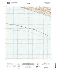
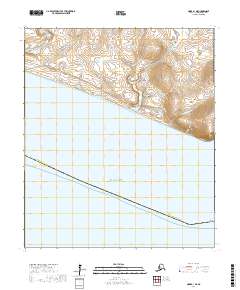
2017 Map of Nome B-1 NW
USGS Topo · Published 2017About this map
Nome sits on the southern edge of the Seward Peninsula, fronting the expansive waters of Norton Sound. This coastal geography is defined by a series of drainages, including the Nome River and smaller tributaries like Peluk Cr and Otter Cr. The landscape is etched with the history of the Seward Peninsula gold rush, as evidenced by topographic features like Gold Hill Gulch, Florence Gulch, and Rocker Gulch.
Find a feature on this map
26 named features on this map. Tap any name to fly to it.
Don’t see what you’re looking for? This feature index may not catch every label — zoom into the map to look around manually.
Map Details
Editions of this 2017 Nome B-1 NW Map
This is the sole edition of this map. No revisions or reprints were ever made.
Other maps of this area

1950 · Nome
USGS Topo · 1:250,000

1950 · Nome B-1
USGS Topo · 1:63,360

1950 · Nome C-2
USGS Topo · 1:63,360

1950 · Nome C-1
USGS Topo · 1:63,360

1951 · Nome
USGS Topo · 1:250,000

1957 · Nome
USGS Topo · 1:250,000
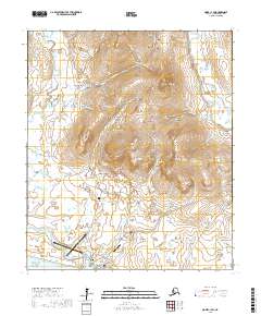
2017 · Nome C-1 SW
USGS Topo · 1:25,000
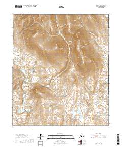
2017 · Nome C-1 SE
USGS Topo · 1:25,000
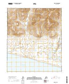
2017 · Nome C-2 SE
USGS Topo · 1:25,000
2017 · Nome B-1 NE
USGS Topo · 1:25,000