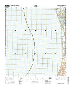
2016 Map of Unalakleet D-4 SW
USGS Topo · Published 2016About this map
Unalakleet sits at the edge of Norton Sound, marking a vital point of intersection where the Unalakleet River meets the Bering Sea. This 2016 survey shows the settlement's concentrated layout along Main Street, situated on the narrow spit of land that separates the river mouth from the coastal waters. The surrounding landscape is defined by a complex network of estuarine features, including Cramberry Slough and Marys Slough, which illustrate the dynamic hydrology of this subarctic environment.
Find a feature on this map
14 named features on this map. Tap any name to fly to it.
Don’t see what you’re looking for? This feature index may not catch every label — zoom into the map to look around manually.
Map Details
Editions of this 2016 Unalakleet D-4 SW Map
This is the sole edition of this map. No revisions or reprints were ever made.
Other maps of this area

1950 · Unalakleet D-4
USGS Topo · 1:63,360

1951 · Unalakleet
USGS Topo · 1:250,000

1952 · Unalakleet C-4
USGS Topo · 1:63,360
1952 · Unalakleet C-5
USGS Topo · 1:63,360

1952 · Unalakleet
USGS Topo · 1:250,000

1964 · Unalakleet
USGS Topo · 1:250,000
2015 · Unalakleet D-4 SE
USGS Topo · 1:25,000
2015 · Unalakleet D-4 NE
USGS Topo · 1:25,000
2015 · Unalakleet C-4 NE
USGS Topo · 1:25,000
2016 · Unalakleet D-4 NW
USGS Topo · 1:25,000