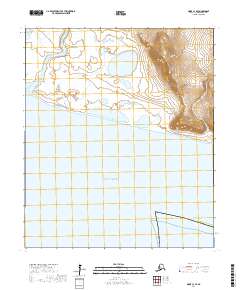
2017 Map of Nome C-3 SE
USGS Topo · Published 2017About this map
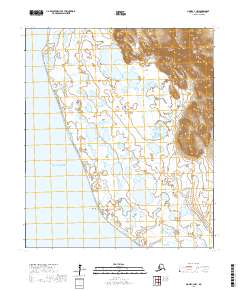
Norton Sound defines the southern expanse of this coastal landscape on the Seward Peninsula, where the shoreline meets the open water of the Bering Sea. The terrain transition is marked by West Point, a coastal prominence that separates the low-lying wetland complexes of the west from the rising topography to the east. The Sinuk River meanders through a broad valley in the northwest, a drainage pattern typical of the region's tundra environment.
Find a feature on this map
10 named features on this map. Tap any name to fly to it.
Don’t see what you’re looking for? This feature index may not catch every label — zoom into the map to look around manually.
Map Details
Editions of this 2017 Nome C-3 SE Map
This is the sole edition of this map. No revisions or reprints were ever made.
Other maps of this area

1950 · Nome
USGS Topo · 1:250,000
1950 · Nome C-3
USGS Topo · 1:63,360

1950 · Nome C-2
USGS Topo · 1:63,360

1951 · Nome
USGS Topo · 1:250,000

1957 · Nome
USGS Topo · 1:250,000
1975 · Nome C-3
USGS Topo · 1:63,360
2017 · Nome C-2 NW
USGS Topo · 1:25,000
2017 · Nome C-3 NW
USGS Topo · 1:25,000
2017 · Nome C-3 NE
USGS Topo · 1:25,000
2017 · Nome C-3 SW
USGS Topo · 1:25,000