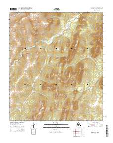
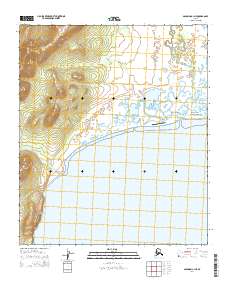
2014 Map of Solomon C-1 NW
USGS Topo · Published 2014About this map
The Darby Mountains dominate this high-latitude terrain, where a series of radial drainage patterns define the landscape. The Kwiniuk River winds through the northern and western sections of the map, serving as a primary hydrological artery for this remote portion of the Seward Peninsula. Smaller tributaries like Iron Cr and Miniatulik Cr carve steep paths through the elevation, illustrating the erosional forces at work within these peaks. This 2014 survey documents a wilderness area largely devoid of permanent human infrastructure, focusing instead on the precise topographical relief and the natural flow of water. Geologists and environmental researchers can trace the course of Quiktalik Cr in the south, observing how the rugged topography dictates the movement of water toward the coast.
Find a feature on this map
11 named features on this map. Tap any name to fly to it.
Don’t see what you’re looking for? This feature index may not catch every label — zoom into the map to look around manually.
Map Details
Editions of this 2014 Solomon C-1 NW Map
This is the sole edition of this map. No revisions or reprints were ever made.
Other maps of this area

1950 · Solomon D-2
USGS Topo · 1:63,360

1950 · Solomon C-2
USGS Topo · 1:63,360

1950 · Solomon C-1
USGS Topo · 1:63,360

1950 · Solomon D-1
USGS Topo · 1:63,360

1950 · Solomon
USGS Topo · 1:250,000

1951 · Solomon
USGS Topo · 1:250,000
2014 · Solomon C-2 SE
USGS Topo · 1:25,000
2014 · Solomon C-1 SE
USGS Topo · 1:25,000
2014 · Solomon D-2 SE
USGS Topo · 1:25,000
2014 · Solomon C-1 NE
USGS Topo · 1:25,000