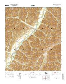
2015 Map of Norton Bay A-3 SW
USGS Topo · Published 2015About this map
The North River carves a winding path through this region of the Norton Bay watershed, serving as the dominant geographic feature in an otherwise undeveloped landscape. This 2015 study focuses on the intricate terrain and drainage patterns within the boundaries of t16s r9w, t16s r8w, t17s r9w, and t17s r8w. The absence of roads, settlements, or structures emphasizes the isolation of this corner of the Seward Peninsula, where elevation contours and the riparian corridor of the North River provide the only navigational markers. This map is a specialized resource for understanding the hydrography and public land survey divisions in a remote portion of the Alaskan interior where the natural environment remains largely untouched by modern infrastructure.
Find a feature on this map
5 named features on this map. Tap any name to fly to it.
Don’t see what you’re looking for? This feature index may not catch every label — zoom into the map to look around manually.
Map Details
Editions of this 2015 Norton Bay A-3 SW Map
This is the sole edition of this map. No revisions or reprints were ever made.
Other maps of this area

1948 · Norton Bay
USGS Topo · 1:250,000

1950 · Unalakleet D-3
USGS Topo · 1:63,360

1950 · Norton Bay A-4
USGS Topo · 1:63,360

1950 · Norton Bay A-3
USGS Topo · 1:63,360

1950 · Unalakleet D-4
USGS Topo · 1:63,360

1951 · Unalakleet
USGS Topo · 1:250,000

1951 · Norton Bay
USGS Topo · 1:250,000

1952 · Unalakleet
USGS Topo · 1:250,000

1955 · Norton Bay
USGS Topo · 1:250,000

1964 · Unalakleet
USGS Topo · 1:250,000