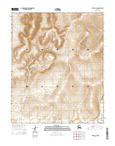
2014 Map of Teller C-2 SW
USGS Topo · Published 2014About this map
The American River meanders through this portion of the Seward Peninsula, cutting through a landscape defined by the Public Land Survey System grids of t3n r35w, t2n r34w, and surrounding townships. This 2014 survey captures the drainage patterns of the region, where tributaries like Luther Cr and Newton Cr flow through the interior. In the southern reach of the map, Boulder Cr joins the larger river system near the boundary of t1n r35w. The absence of roads or permanent settlements within these coordinates highlights the undeveloped character of this remote Alaskan terrain, where the hydrography serves as the primary geographic identifier.
Find a feature on this map
10 named features on this map. Tap any name to fly to it.
Don’t see what you’re looking for? This feature index may not catch every label — zoom into the map to look around manually.
Map Details
Editions of this 2014 Teller C-2 SW Map
This is the sole edition of this map. No revisions or reprints were ever made.
Other maps of this area

1950 · Teller
USGS Topo · 1:250,000

1950 · Teller B-2
USGS Topo · 1:63,360

1950 · Teller C-3
USGS Topo · 1:63,360

1950 · Teller C-2
USGS Topo · 1:63,360

1950 · Teller B-3
USGS Topo · 1:63,360

1951 · Teller
USGS Topo · 1:250,000

1957 · Teller
USGS Topo · 1:250,000

1958 · Teller
USGS Topo · 1:250,000
2014 · Teller C-2 NW
USGS Topo · 1:25,000
2014 · Teller C-3 SE
USGS Topo · 1:25,000