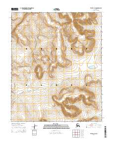
2014 Map of Teller C-3 SE
USGS Topo · Published 2014About this map
The Continental Divide bisects this remote expanse north of Nome, carving a sharp topographic boundary through the Seward Peninsula. The landscape is defined by its dramatic drainage patterns, where high ridgelines separate the headwaters of the American River from the winding paths of Arctic Cr and Boulder Cr. Surveyed in 2014, the map reveals a wilderness largely devoid of modern infrastructure, preserving a view of the terrain as it has existed for generations. This area is characterized by steep elevation changes and the raw hydrography of the Alaskan interior, offering a clear record of the natural barriers that have long dictated movement across the peninsula's northern reaches.
Find a feature on this map
10 named features on this map. Tap any name to fly to it.
Don’t see what you’re looking for? This feature index may not catch every label — zoom into the map to look around manually.
Map Details
Editions of this 2014 Teller C-3 SE Map
This is the sole edition of this map. No revisions or reprints were ever made.
Other maps of this area

1950 · Teller
USGS Topo · 1:250,000

1950 · Teller B-2
USGS Topo · 1:63,360

1950 · Teller C-3
USGS Topo · 1:63,360

1950 · Teller C-2
USGS Topo · 1:63,360

1950 · Teller B-3
USGS Topo · 1:63,360

1951 · Teller
USGS Topo · 1:250,000

1957 · Teller
USGS Topo · 1:250,000

1958 · Teller
USGS Topo · 1:250,000
2014 · Teller C-2 NW
USGS Topo · 1:25,000
2014 · Teller C-2 SW
USGS Topo · 1:25,000