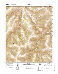
2015 Map of Candle B-2 NE
USGS Topo · Published 2015About this map
S Fork Buckland River winds through this interior landscape, which is divided between the t1n r5w, t1n r4w, t1s r5w, and t1s r4w townships. The topography is defined by the drainage patterns and significant elevation shifts characteristic of the region, providing a detailed look at the watershed before it reaches more populated coastal areas. The lack of named settlements or infrastructure reflects the wilderness state of this portion of the Seward Peninsula, making it a critical reference for understanding the natural geography of the Nome census area in the early twenty-first century.
Find a feature on this map
5 named features on this map. Tap any name to fly to it.
Don’t see what you’re looking for? This feature index may not catch every label — zoom into the map to look around manually.
Map Details
Editions of this 2015 Candle B-2 NE Map
This is the sole edition of this map. No revisions or reprints were ever made.
Other maps of this area

1951 · Candle
USGS Topo · 1:250,000

1954 · Candle C-2
USGS Topo · 1:63,360

1954 · Candle B-2
USGS Topo · 1:63,360

1954 · Candle C-1
USGS Topo · 1:63,360

1954 · Candle B-1
USGS Topo · 1:63,360

1955 · Candle
USGS Topo · 1:250,000

1964 · Candle
USGS Topo · 1:250,000
2014 · Candle B-2 NW
USGS Topo · 1:25,000
2014 · Candle C-2 SW
USGS Topo · 1:25,000
2015 · Candle B-2 SE
USGS Topo · 1:25,000